|
| *****SWAAG_ID***** | 697 |
| Date Entered | 10/03/2013 |
| Updated on | 12/03/2013 |
| Recorded by | Tim Laurie |
| Category | Tree Site Record |
| Record Type | Botanical HER |
| Site Access | Public Footpath |
| Record Date | 27/02/2013 |
| Location | Clapgate Gill as seen from the roadside on Clapgate Bank and the public footpath to the limit of the Army Ranges. |
| Civil Parish | Marske |
| Brit. National Grid | |
| Altitude | 170m-290m |
| Geology | Richmond Cherts over The Main Limestone. |
| Record Name | Trees within Clapgate Gill seen in winter from the roadside and path to the limit of the Army Ranges. |
| Record Description | Photo images of trees within Clapgate Gill as seen in winter during several walks from the road at Clapgate Bank to the limit of the Army Firing Ranges. NOTE! No access on the Ranges without prior written permission. For the same trees in summer see SWAAG Database Record No 642.
For trees within Clapgate Gill but on the Army Ranges, see SWAAG Record No 698 |
| Dimensions | See photographs. |
| Additional Notes | NOTE! No access on the Ranges without prior written permission.
Brief details of the trees are provided in the image captions.
For further images, location and details of specimen trees here, see The ancient tree Hunt Website at |
| Image 1 ID | 4146 Click image to enlarge |
| Image 1 Description | Distant view of the avenue of limes, Marske. | 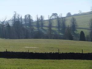 |
| Image 2 ID | 4148 Click image to enlarge |
| Image 2 Description | Distant view of the avenue of limes, Marske. | 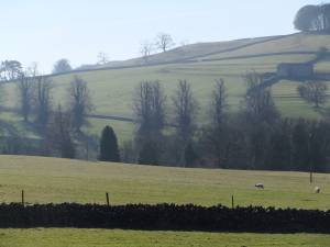 |
| Image 3 ID | 4149 Click image to enlarge |
| Image 3 Description | An ancient wind -pollarded sycamore below Clapgate Plantation. This tree can now live for a further two hundered years. | 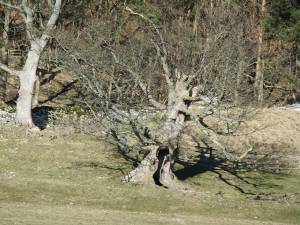 |
| Image 4 ID | 4150 Click image to enlarge |
| Image 4 Description | Dew pond, lynchets and black headed gulls. | 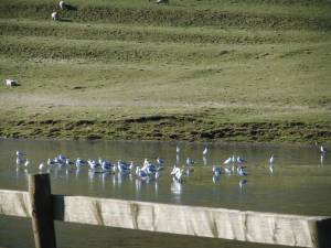 |
| Image 5 ID | 4151 Click image to enlarge |
| Image 5 Description | Dew pond, lynchets and black headed gulls. | 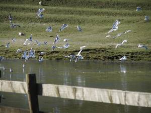 |
| Image 6 ID | 4152 Click image to enlarge |
| Image 6 Description | Fine plantation of scots pine. | 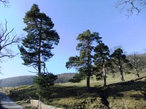 |
| Image 7 ID | 4153 Click image to enlarge |
| Image 7 Description | This small well placed plantation of scots pine and oak definitely enhances the landscape. | 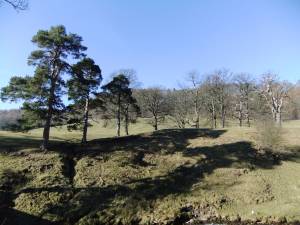 |
| Image 8 ID | 4154 Click image to enlarge |
| Image 8 Description | Fine larches are by the roadside. | 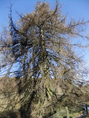 |
| Image 9 ID | 4155 Click image to enlarge |
| Image 9 Description | A fine oak planted by Nanny Miller's Spring which reappears below Clapgate Plantation | 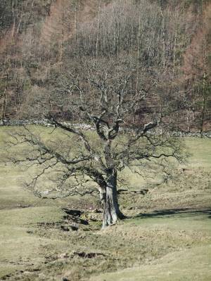 |
| Image 10 ID | 4156 Click image to enlarge |
| Image 10 Description | An old hollowed ash tree, wind coppiced and now safe from windfall to grow for a further 200 years,- unless ash die back strikes. | 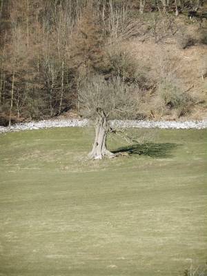 |
| Image 11 ID | 4157 Click image to enlarge |
| Image 11 Description | Lone scots pine by Clapgate Beck | 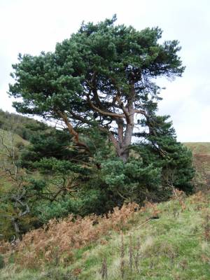 |
| Image 12 ID | 4158 Click image to enlarge |
| Image 12 Description | View downstream with pine tree. |  |
| Image 13 ID | 4159 Click image to enlarge |
| Image 13 Description | A fine ash tree by Clapgate Beck. | 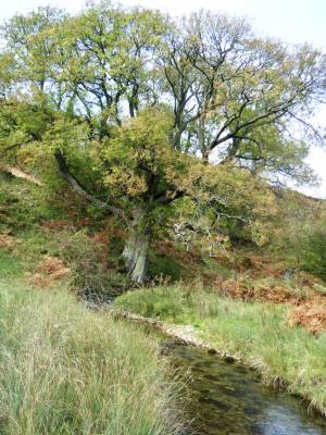 |
| Image 14 ID | 4161 Click image to enlarge |
| Image 14 Description | Ancient hawthorn, a survivor. | 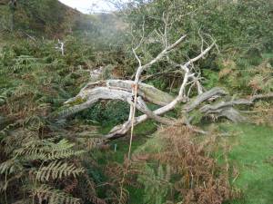 |
| Image 15 ID | 4162 Click image to enlarge |
| Image 15 Description | View upstream towards Low Leldom from Army Limit. | 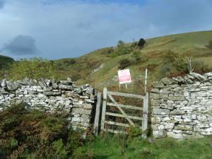 |
| Image 16 ID | 4163 Click image to enlarge |
| Image 16 Description | View downstream towards Clapgate Pastures and Plantation from Army Limit. | 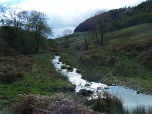 |
| Image 17 ID | 4164 Click image to enlarge |
| Image 17 Description | Earthen dam on Clapgate Beck | 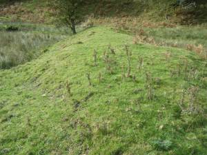 |
| Image 18 ID | 4166 Click image to enlarge |
| Image 18 Description | Meanders on Clapgate Beck | 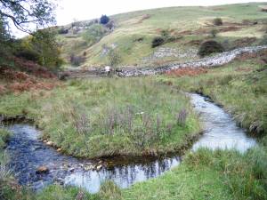 |
| Image 19 ID | 4167 Click image to enlarge |
| Image 19 Description | Once picked and devoured, now the home of hideous liver fluke terror. | 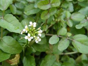 |


